ArcGIS Publish a Cached Map to ArcGIS.com Without Burning Credits Publishing a map to ArcGIS.com, typically it is preferable to cache the map for faster rendering and performance. However, the larger the spatial extent, the more credits will be used to create the cache. Recently a solution to this has been created. ArcGIS.com can now publish tile packages
ArcGIS Create Enterprise Geodatabase from XML Workspace document Note: I have updated this toolbox to include more functionality, ported it to a Python Toolbox, and created a GitHub repository [https://github.com/knu2xs/sde-workspace-creation-toolbox] for it. Teaching classes frequently necessitates quickly creating and setting up enterprise geodatabases using ArcGIS SDE technology. To make my life
Defeating the Cleats - Recycling Road Bike Shoes My wife Gina and I, we have almost identical inseam and torso lengths. We are so close to where I can jump on any of her bikes and not even have to move the seat. Everything is in perfect proportion. Given she is a complete bike snob, this works out
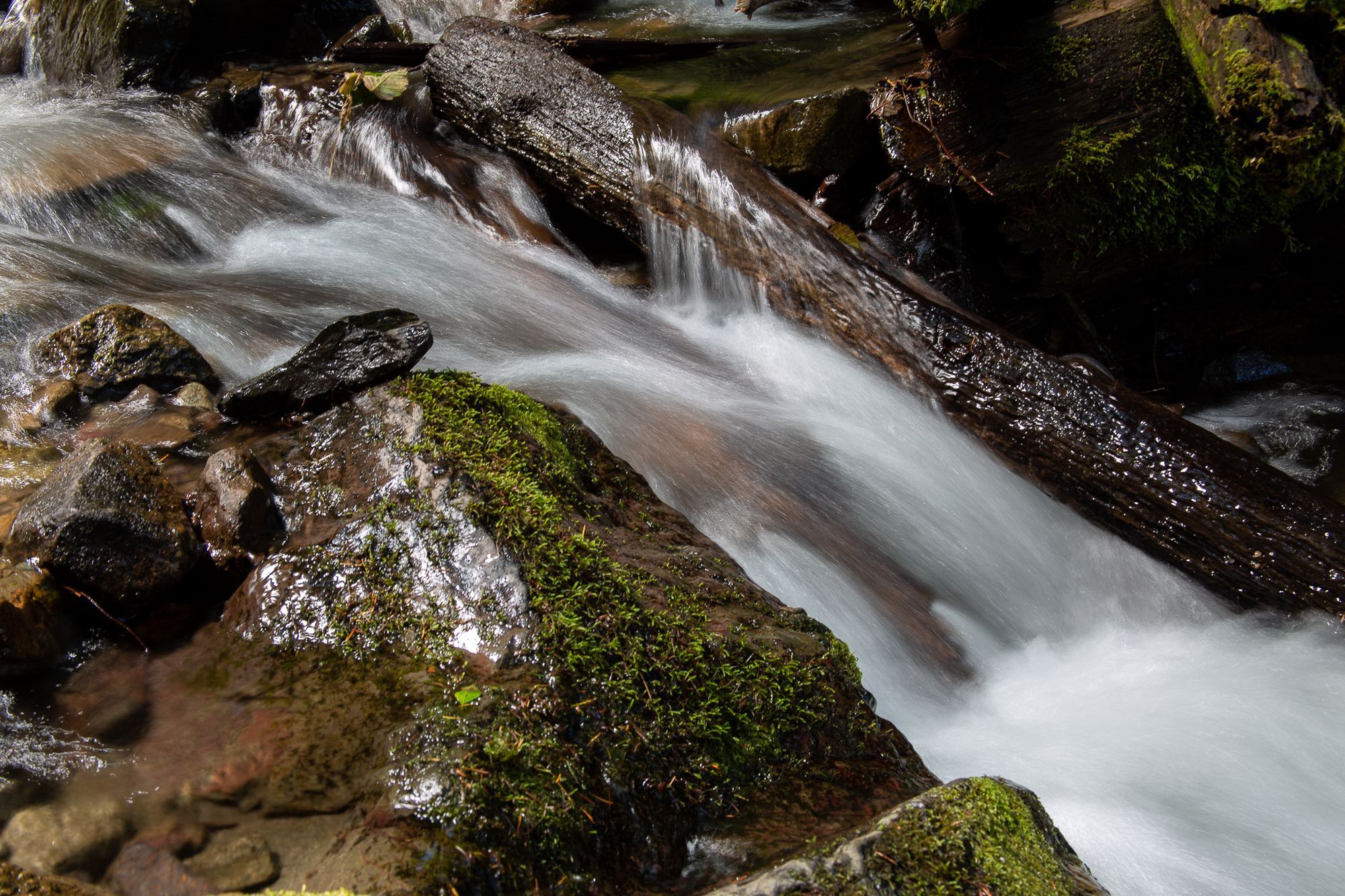
Use GIS to Figure Out Where To Go Paddling Although the impending hurricane has huge potential to wreck havoc, for those of us who like to paddle whitewater rivers, big rain events such as these have a bit of a silver lining. The game always has been to figure out where the rivers are coming up and just how
12.04 Install Webmin on Ubuntu 12.04 Server Playing with Linux Ubuntu servers both as virtual machines on ESXi at home and as Amazon EC2 instances requires some administration. Since I have a hard time remembering all the commands I frequently need to use, I like to have Webmin installed to make the administration process much easier. Thankfully,
Bank of America Federal Prosecutors Sue Bank of America Over Mortgage Program - NYTimes.com Wow, this should prove interesting to see how it plays out and what effects it has on a multitude of things. Federal Prosecutors Sue Bank of America Over Mortgage Program - NYTimes.com [http://dealbook.nytimes.com/2012/10/24/federal-prosecutors-sue-bank-of-america-over-mortgage-program/] .
Geodata ArcGIS Can Now Rename Fields Although I have not investigated which release, 10.1 or 10.1 Service Pack 1, this was implemented in, it is good to see this frequent request by students in class has been implemented. True, it is a bit on the geeky side. However, I am a geek and I
development Getting a Harvard Education One of these days I really do need to learn how to program. Most of the things I want to do with computers at this juncture, they just are not even possible, or would be immensely easier if I had some sort of programming background. There is a university here
ArcGIS Learning OpenSuse and Yast2...slowly In case it is not already obvious...yes, I work for Esri and I like to tinker with as much of the software as possible. Most recently this has included trying to get the database (SDE technology) and application server (ArcGIS for Server) running on Linux virtual machines. This has
ESXi Installing ESXi from a USB thumb drive When building my ESXi server, I really did not have much use for a DVD drive in it...except for installing the operating system. Although installing a DVD drive and removing it later was an option, it just seemed like there should be an easier solution. There is. A USB
ESXi The 64-bit ESXi Project ArcGIS for Server is now 64 bit or nothing. My $250 Dell outlet desktop just was not cutting it anymore to push ESXi, at least for this purpose. ESXi version five simply would not install onto the Dell. A change was needed. I upgraded the server and made the Dell
Selway 2012 Pictures Last night I stayed up trying to get these pictures in some semblance of organization. There still are way too many, but I really did not have the time to sort out the best. The entire gallery is after the break. Just click on any of the thumbnails to begin
ArcGIS Desktop ArcGIS for Desktop 10.1 Add-In with Custom Toolbox Note: An example and additional explanation of this is available on ArcGIS.com [http://www.arcgis.com/home/item.html?id=22eaf8fc4ba84adda99220dc2a6c7453]. ArcGIS for Desktop 10.1 introduces the capability to create custom Add-Ins using Python. Unfortunately this new functionality does not include the capability to create a custom
NC Amendment One - Shades of Gray Following the primary election and vote on amendment one in North Carolina, I saw a huge number of hastily created maps passed around online depicting the counties for or against amendment one. These maps however, failed to tell a very complete story. The picture was painted very black and white.
Chrome poised to overtake IE [https://joelmccune.com/wp-content/uploads/2012/05/StatCounter-browser-ww-monthly-201104-201204.jpg] Although I recall reading about it a few months ago, it was interesting this morning to see the actual data this morning depicting when Chrome overtook Firefox as the second most popular browser on GlobalStats.
ArcGIS for Desktop Specify Editor for Python Scripts in ArcGIS for Desktop Python, it is extremely useful for streamlining workflows and SOP for a multitude of tasks. This is particularly true for geoprocessing in ArcGIS. True, ModelBuilder can be used. More often than not, I find myself starting in ModelBuilder and finishing in Python simply because of the ability to have more
Aptana An IDE with code assist for the ArcGIS JavaScript API For a multitude of reasons, I want to figure out how to work with the ArcGIS JavaScript API. It has to do with mobile devices, lack of need for plugins and mostly because this is the direction the web is going long term. After all, HTML5 really is just a
ArcGIS.com Use ArcGIS.com to Create Custom JavaScript Web Applications Esri has released web application builders for both Flash and Silverlight. However, for those wishing to stay away from these plugin dependent solutions, at first glance, it may appear there is little other option than starting from scratch and building an web application from scratch. Fortunately this is not the
ArcGIS Desktop Create List of Unique Table Values using Python for ArcGIS Analysis NOTE: I have updated this function for 10.1 and consolidated some of the code. The sample is available in a new post, Create List of Unique Table Values using Data Access Module [https://joelmccune.com/2013/04/03/create-list-of-unique-table-values-using-data-access-module/] . Necessity
analysis workflow Iranian Ballistic Missile Range [http://res.cloudinary.com/joelmccune-com/image/upload/v1408384262/iranBallisticMissile_lowRes_ogmdbu.png] Being a GIS geek, when reading the New York Times and The Economist on my iPad, current events in the Middle East always get me to thinking about how the geography all fits together. During the last
iPod Knobby Tires and Irish Fury...Tasty! While in the Navy, a friend introduced me to his mother as, "The guy who drives it like he stole it." Not much has changed in the eight years since then, at least regarding my driving. Trying to squeeze in a mountain bike ride during lunch only further
Christmas Galería de fotos de la Griswolds en la República Dominicana para la Navidad Gina and I decided it would be a good idea to get a few people together we were more or less related to and head to the Dominican Republic for the better part of two weeks instead of staying in the US for a commercialized Christmas. These people included Gina
iTunes iTunes Playlists, Texas Country and Unleash the Redneck While in the Dominican Republic over the last two weeks, I read Steve Jobs book. Interestingly enough, after reading Steve's book, I felt a need to start organizing some personal soundtracks for life. That, and buy a iPod Shuffle for some of these soundtracks. This morning I started
ArcGIS.com Green Narrows Trail Map Saturday 05 Nov 2011 at high noon the first racer will leave the eddy above Bride of Frankenstein on the Green River in North Carolina just outside of Hendersonville and head into the Narrows. Less than six minutes later, after descending over 500 feet through close to 10 class V